New Jersey's western border runs through a national recreation area, the last intact towpath canal in the country, and small towns that have barely changed their footprints in a century.
The Delaware is the longest undammed river east of the Mississippi, and its New Jersey bank holds the state's most dramatic scenery outside the highlands. Two things define a trip here: the Water Gap in the north, where the river cuts a 1,200-foot gorge through the Kittatinny Ridge, and the canal corridor in the south, where a 19th-century towpath now carries cyclists and walkers for nearly 70 miles.
Between them sit the river towns — Lambertville, Stockton, Frenchtown, Milford — small, dense, and full of the kind of independent shops that only survive where rents stay low.
The Water Gap: where the river cuts the ridge
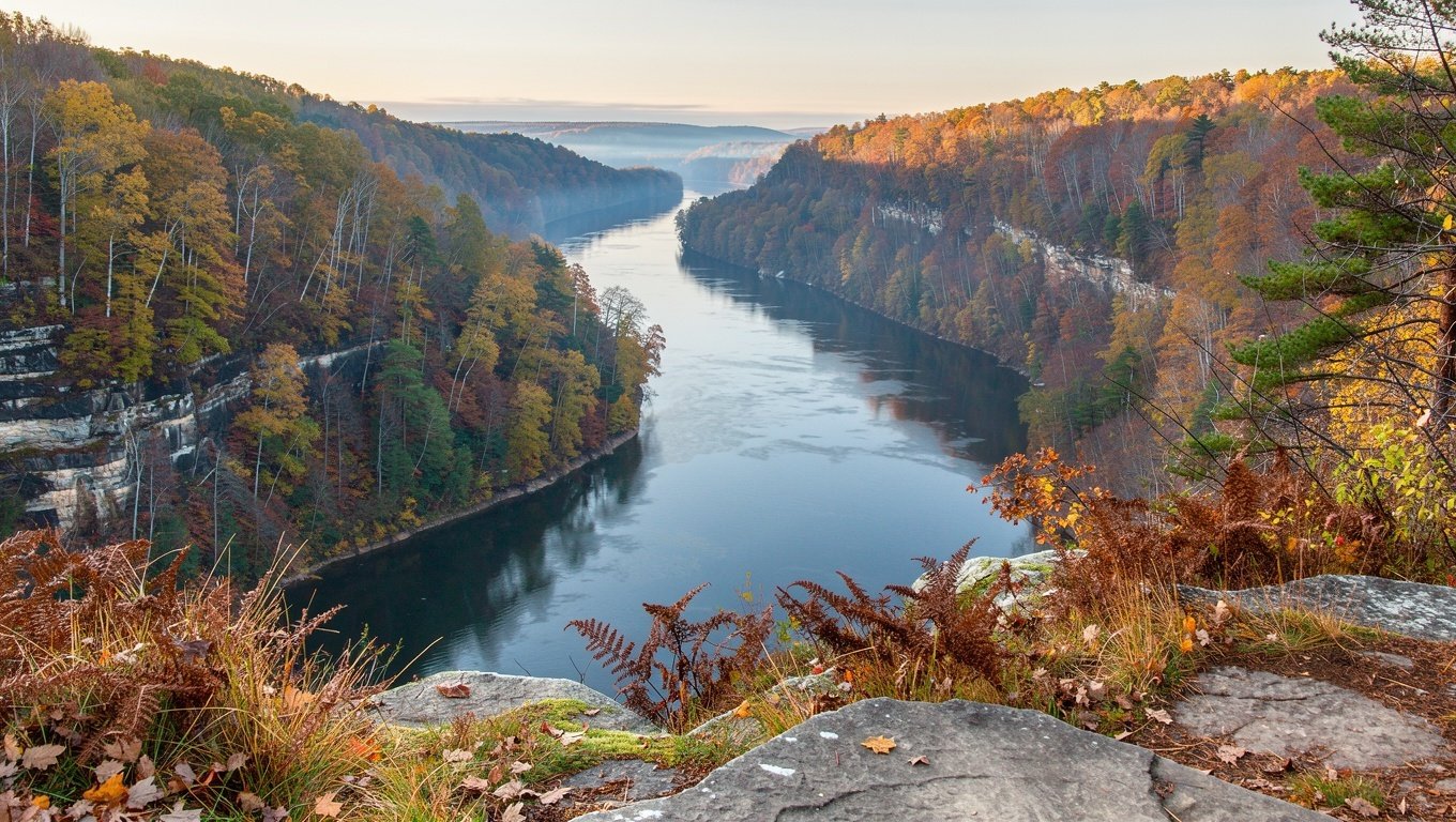
The Delaware Water Gap is a geological oddity — a river that maintained its course straight through a mountain ridge rather than around it. The result is a gorge with 1,200-foot walls, and a national recreation area of about 70,000 acres spread across both states.
On the New Jersey side the highlights are the Mount Tammany climb (steep, about 3.5 miles round trip, superb summit view), the Kittatinny Point overlook directly off I-80, and the flat Karamac trail along the old railroad grade beside the river.
Start early, or change plan
Mount Tammany's trailhead fills by 8:30am on autumn weekends and closes to new cars. If it is full, drive to Kittatinny Point for the viewpoint, then walk the Karamac or Dunnfield Creek trails instead. Both are quieter and reward the same landscape.
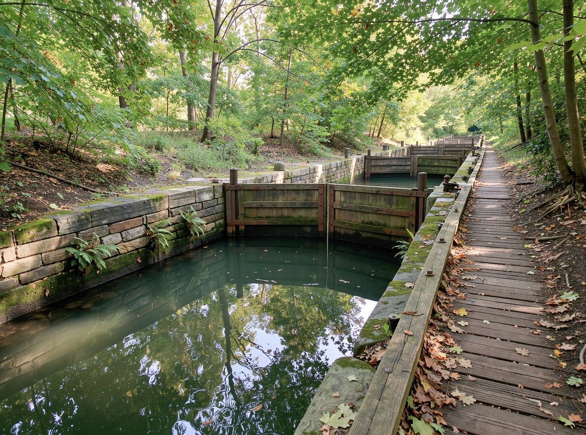
Stone locks survive along the towpath, many of them unrestored and all the more atmospheric for it.
The Delaware and Raritan Canal
Built in the 1830s to move coal and freight between Philadelphia and New York, the D&R Canal is now a linear state park. Its defining feature is that the towpath — the flat dirt track where mules once pulled barges — survives almost intact for around 70 miles, making it one of the best flat cycling routes in the Northeast.
Where to start: the stretch from Lambertville north to Stockton is the prettiest and most accessible, with parking at both ends and a compacted surface that works for hybrid bikes and strollers. South of Princeton, the canal runs through more suburban terrain but connects to the towpath system around Trenton.
Rentals: several bike shops in Lambertville and Frenchtown rent hybrids by the half day.
Covered bridges and back roads
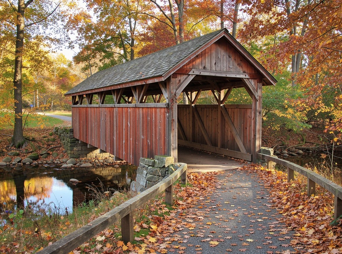
Hunterdon and Warren counties hold a surprising concentration of surviving covered bridges, most of them wooden truss spans from the 19th century that were never replaced because traffic never justified it. Several remain in everyday use on county roads.
They are best hunted by car on a slow loop: from Sergeantsville north through Rosemont toward Stockton, then along the river to Frenchtown. Expect single-lane wooden decks, low clearance and no shoulders.
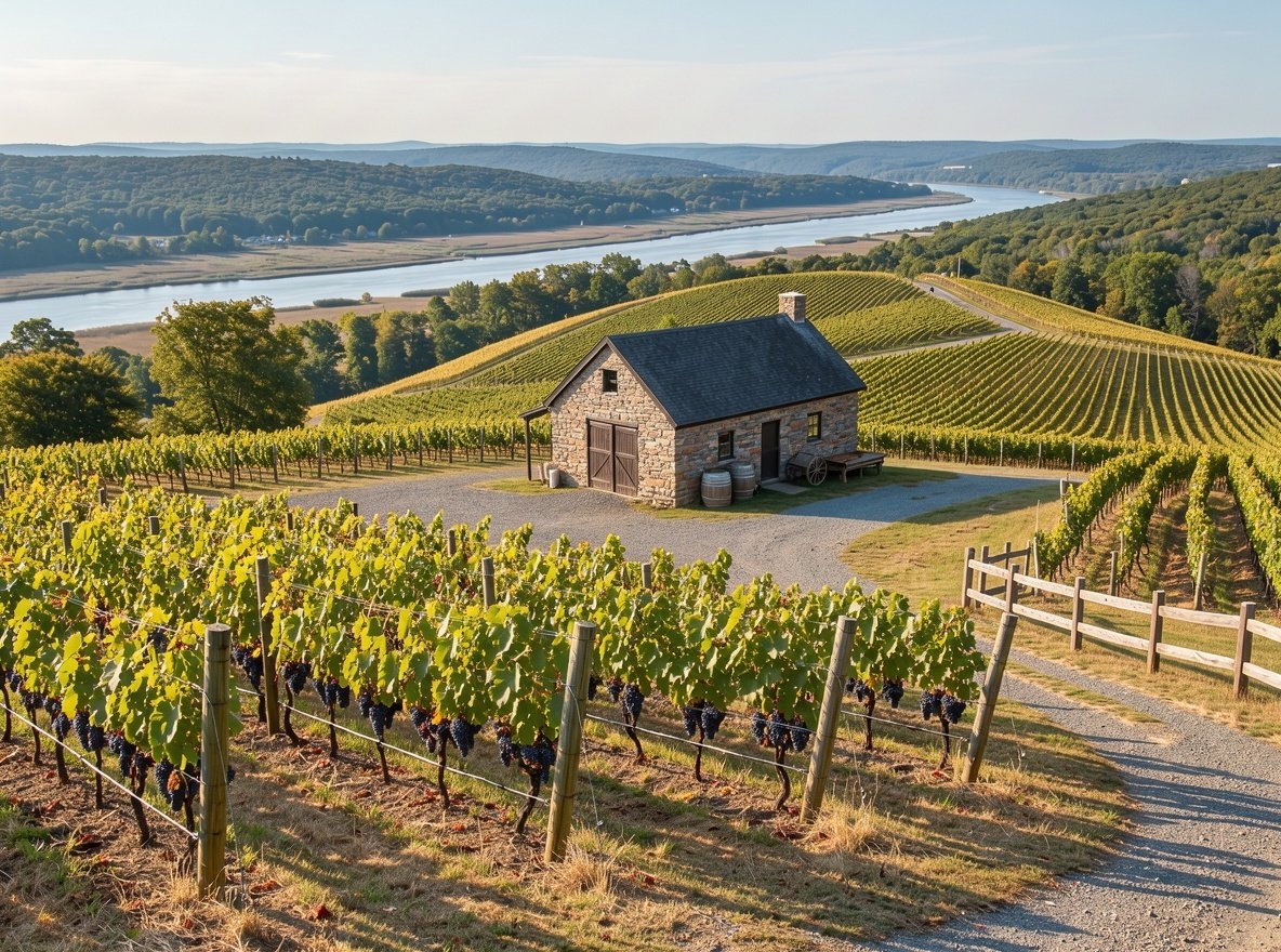
Wooden truss bridges from the 1800s still carry local traffic on county roads.Vineyards on the slopes above the valley make a good late-afternoon stop.
River towns
LambertvilleThe best of them: a dense grid of 19th-century buildings given over to antiques dealers, galleries and good restaurants. Walk across the bridge to New Hope, Pennsylvania, for the full experience.
StocktonTiny, with a market, a couple of restaurants and canal access. Good place to park and start a towpath ride.
FrenchtownA single main street of clapboard storefronts above the river. Excellent in autumn; quiet in winter.
MilfordFurther north, near the Water Gap, with river access and a handful of cafes.
TitusvilleWashington Crossing State Park and the crossing site are here — see the battlefields section of the Central Jersey page.
Vineyards and river Valley wine
New Jersey's wine industry has grown substantially and the Delaware Valley slopes are one of its centres. Several wineries around Milford, Pittstown and Ringoes run tasting rooms with valley views, and most welcome walk-ins on weekend afternoons.
Expect $10–$18 for a tasting flight. Designated drivers are essential — the roads are narrow and the police patrol the river corridors on weekend evenings.
Delaware River practicalities
Water levels and tubing
Tubing and kayaking operators on the Delaware only run when the river is at a safe level. After heavy rain the river can be too fast and closes without notice; in a dry August it can be too low. Call the operator the morning of your trip rather than booking blind.
Driving
Route 29 along the New Jersey bank is scenic but slow, and a single slow vehicle can cost you twenty minutes. The Route 202 and I-80 corridors are the fast alternatives. Fuel up before heading into the northwest corner of the region.
When to come
May and June for green riverbanks and full water. Mid-October for colour. Late July and August for tubing and swimming. Winter is quiet and many small businesses close.
Can I swim in the Delaware River?
At designated recreation areas, yes, but there are no lifeguards on most stretches and currents are unpredictable. Never swim alone, and check river conditions with the National Park Service before entering the water.
Is the canal towpath flat?
Effectively yes — it was built for mules hauling barges, so gradients are minimal. The surface varies from compacted gravel to dirt and is best suited to hybrids or gravel bikes rather than narrow road tyres.
Do I need a car for this region?
Realistically, yes. There is no rail service along the river corridor, and attractions are spread across 40 miles of two-lane roads.